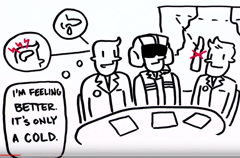
How are the various fog phenomena reported or forecast in METAR or TAF? And what was that again about the different types of fog? What are the chances of it clearing up? And when can we expect dense fog, and when can we expect high fog that is still suitable for VFR? We will address the issue of fog using a few examples so that no questions remain unanswered the next time fog rolls in.

Visibility restrictions in METAR and TAF

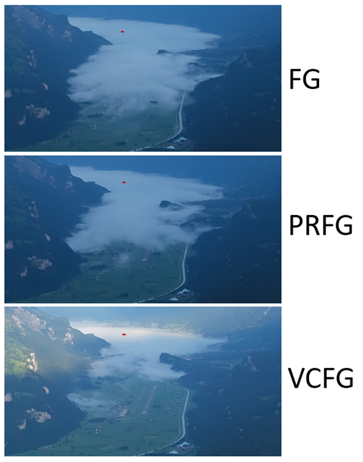
By definition, fog is when the meteorological visibility (Met Vis) is less than 1000 meters – in METAR, this is indicated by FG. However, there are also fog phenomena where METAR indicates higher visibility. These special cases are (details below):

VCFG (vicinity fog), Met Vis >1000 meters

MIFG (shallow fog), Met Vis 1000–9999 meters

BCFG (patches of fog), Met Vis < 1000–9999 meters

PRFG (Partial Fog), Met Vis< 1000 – 9999 meters

FZFG (Freezing Fog), < 1000 meters Vis

However, haze is also an important issue in autumn. This is reported as BR when the Met Vis is 1000-5000 meters due to a moist ground layer. The term comes from the French word brume and is also called mist in aviation jargon. Moist haze usually occurs in the morning when fog dissipates or in the evening when fog forms. BR can also occur throughout the day in stable high-pressure conditions in autumn. With the upper limit of the haze in the afternoon hours, the fog upper limit for the following day can be easily estimated in persistent weather conditions. BR is therefore considered a good indicator of the humidity and thus the fog susceptibility of the ground layer. So if you read BR in the METAR, you should also consult the TAF for the possible time of fog formation.

METAR example: VRB01KT 4200 BR NSC 14/10 Q1016 NOSIG

VCFG

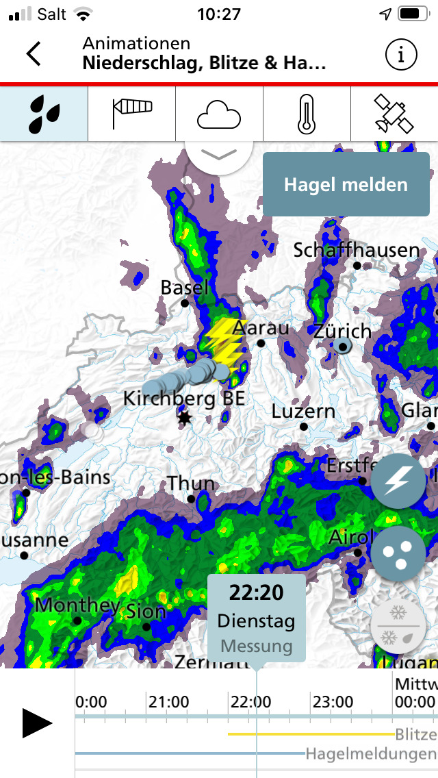
If there is fog outside the airport area but within a 16-kilometer radius of the airport, this is indicated by Vicinity Fog VCFG. VCFG means that fog is also possible directly on the airfield. For TAF and METAR TREND (2-hour forecast at the end of the METAR for LSZH and LSGG), note the corresponding time stamp.

Example METAR: VRB01KT 9999 VCFG FEW070 11/11 Q1016 BECMG PRFG

MIFG

MIFG (MI stands for the French word mince) is ground or grass fog that is no higher than approx. 2 meters. In aviation terminology, it is also called shallow fog. With this type of fog, the Met Vis can be more than 1000 meters, as the Met Vis is determined at 2 meters above ground level. MIFG occurs mainly in early autumn after clear nights. As a rule, meadow fog is harmless and usually disappears 30 minutes after sunrise. However, MIFG can also be a sign of further fog development, especially if it occurs during the night: study TAF and METAR TREND.

Example METAR: VRB01KT 9999 MIFG NSC 08/07 Q1016 NOSIG

BCFG

BCFG (BC stands for the French word banc) are unrelated fog banks that can impair visibility. In aviation, they are often referred to as patches of fog. BCFG are usually the precursor to FG in the early morning or evening hours. BCFG can indicate developing fog: pay attention to TAF and, if necessary, METAR TREND.

Example METAR: VRB01KT 4500 BCFG NSC 08/07 Q1016 BECMG 1200 PRFG

PRFG

With PRFG (Partial Fog), parts of the airport are in fog. PRFG is usually reported in combination with a sector visibility. PRFG can occur when fog is forming or dissipating and is an indication of a change in the situation: pay attention to TAF and METAR TREND.

Example METAR: VRB01KT 7000 0800N PRFG FEW070 Q1016 NOSIG
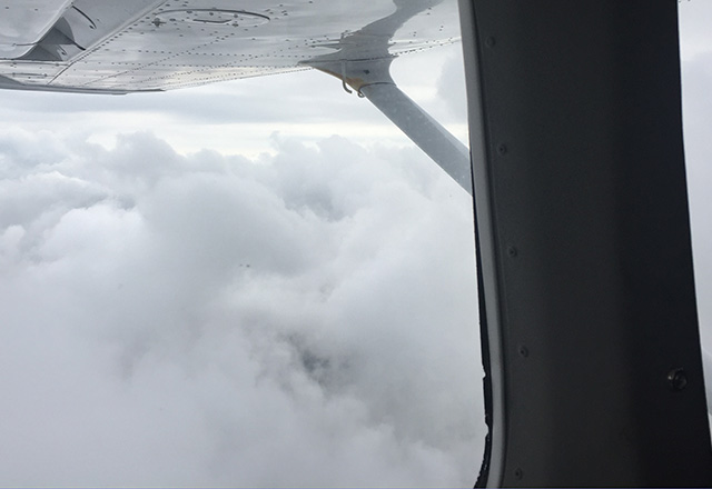
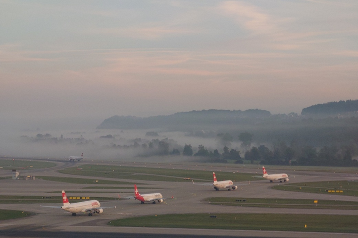
FG

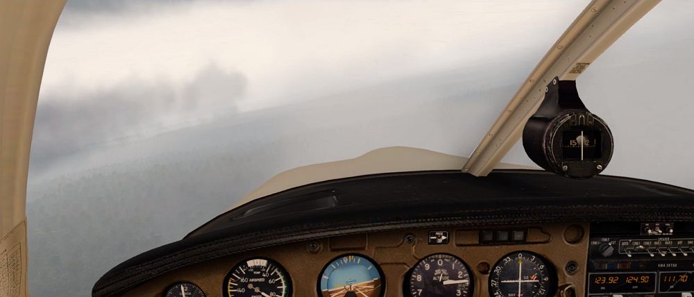
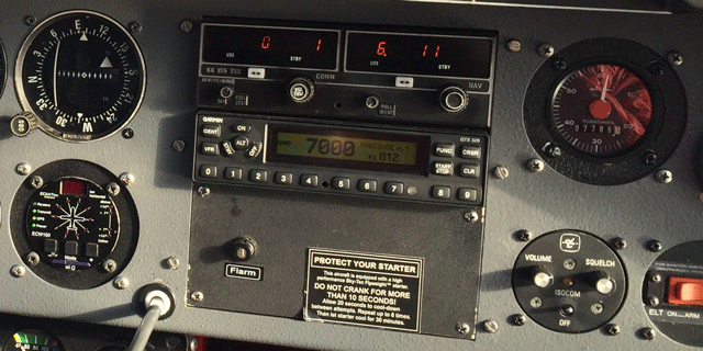
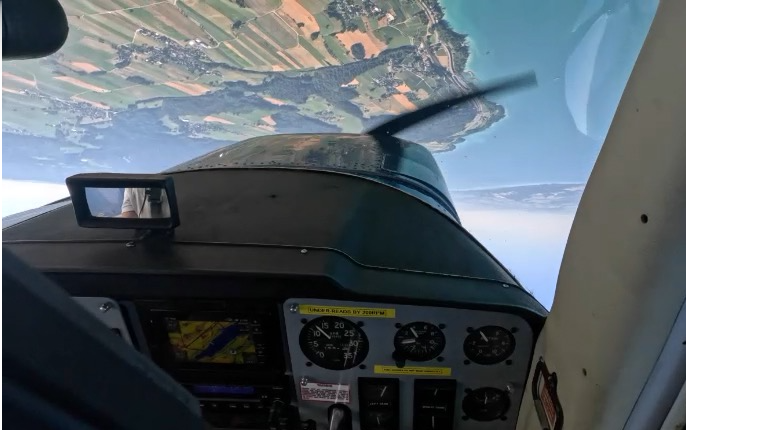
FG is reported when the entire airport is covered in fog. If temperatures are below freezing, FZFG is reported. FG can persist for longer depending on the fog situation. The TAF forecasts whether and when a change can be expected. Normally, the cloud base is no longer visible in fog. Instead of the cloud base, the vertical visibility VV is reported. At the VV level, the pilot can see the runway lighting. Because this is a vertical distance, the unit is the same as for the cloud base in Hekto FT.

METAR example: VRB01KT 0500 FG VV002 04/04 Q1016 NOSIG

The different types of fog

The fog phenomena described above in METAR and TAF describe the basic type of radiation fog. On clear and windless nights (high pressure weather), the ground cools down and with it the air above it. If the temperature drops to the dew point, dew forms in the first phase, and if it cools further, BR, MIFG, BCFG, PRFG, and FG form, or FZFG below 0 degrees. There needs to be a corresponding amount of moisture, which can be recognized by a small spread (difference between temperature and dew point). Radiation fog is also favored when there has been precipitation the day before and the sky clears up at night.

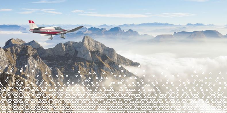
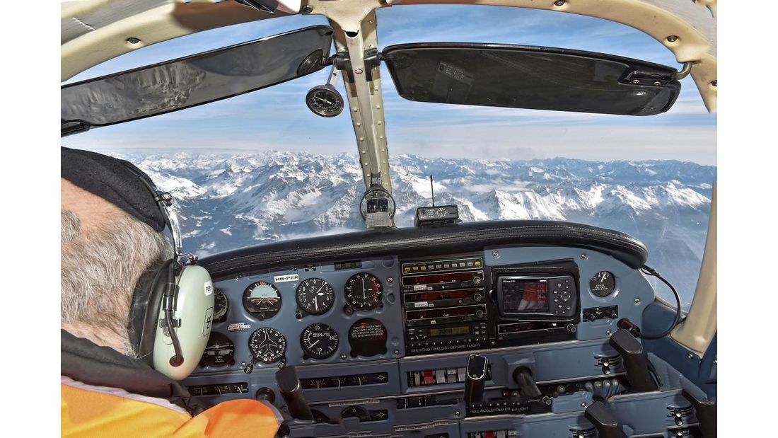
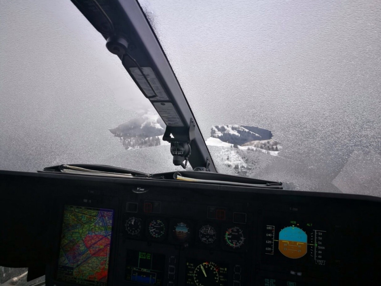
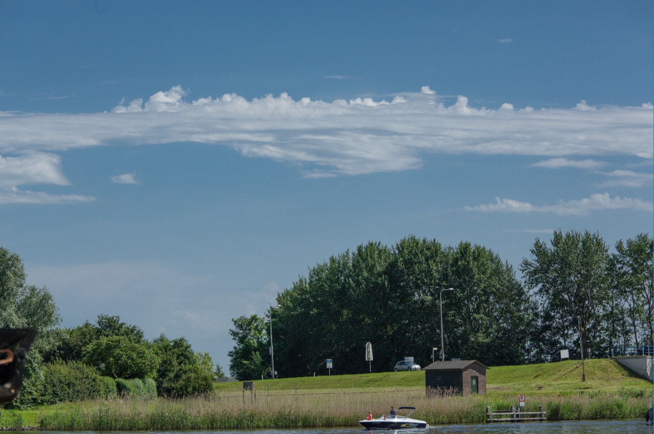
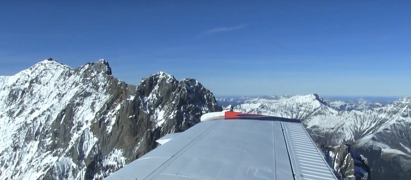
We refer to high fog when the fog layer no longer lies on the ground. In the METAR, for example, OVC030 is then indicated. High fog occurs in the Swiss Mittelland in connection with the Bise wind: the stronger the Bise, the higher the high fog, as it is “pumped up” by the Bise. This means that a VFR flight can still be carried out under the gray cover if the base is high enough.

Orographic fog describes a cloud that rests on the topography, for example in areas of stagnation in the Jura or the Alps.

Advection fog is mainly observed on coasts when warm, moist air cools over a cold sea current, causing condensation.

How does fog dissipate?

The radiation fog that frequently occurs in our region is “baked away” during the day by the warming effect of the sun. The shorter the day and the less solar energy there is, the more persistent the fog.

You wouldn’t think so, but fog and high fog are sensitive to changes. Pressure changes, wind, and the influx of dry and/or cold air are also considered good “fog killers.” Medium-high cloud fields also work very well, dispersing the fog with their counter-radiation. In other words, the more persistent a high-pressure or bisen situation is, the more persistent the fog or high fog will be. If the weather changes, the chances of the fog clearing also increase.

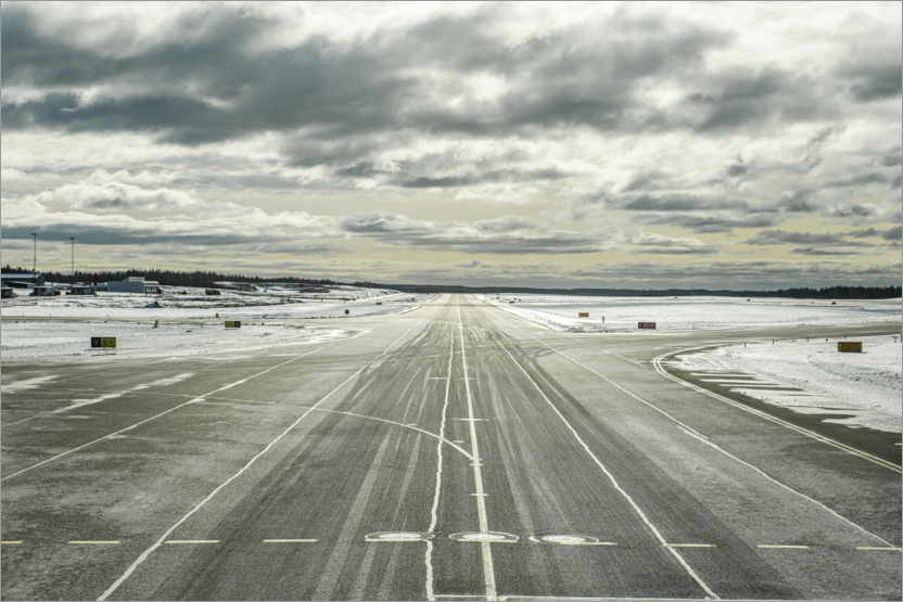
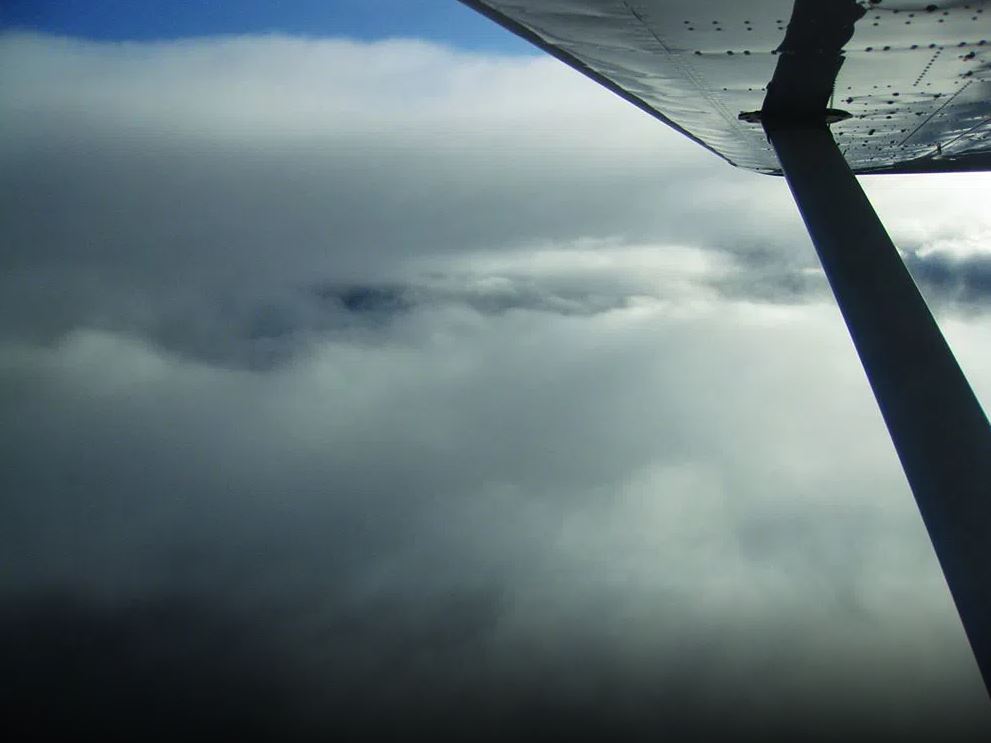
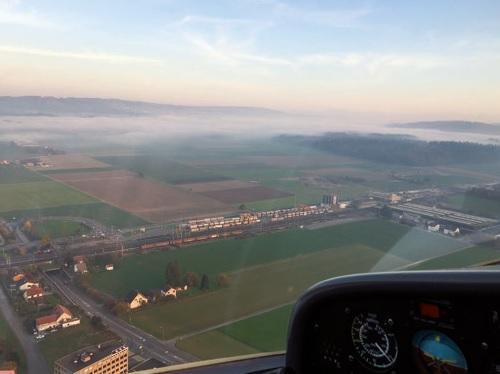
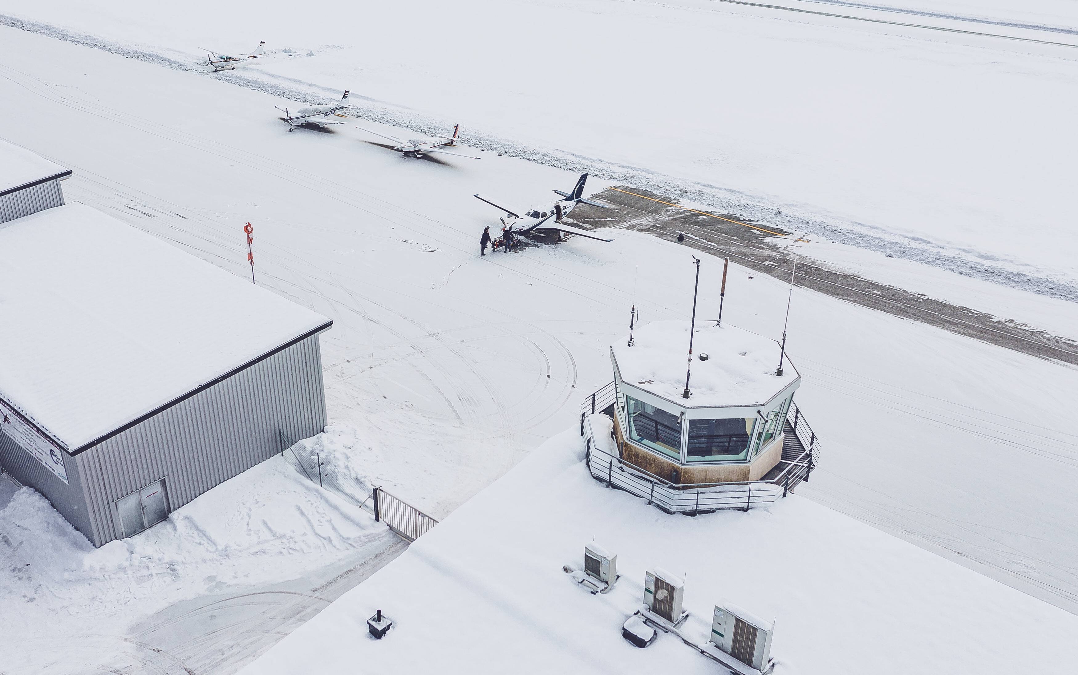
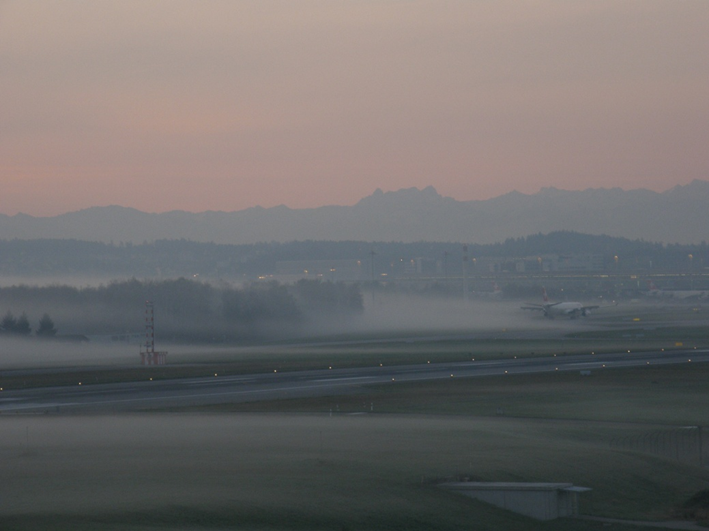
We conclude this article on fog with a textbook example from LSMM airport. The fog cleared within just one hour this morning.

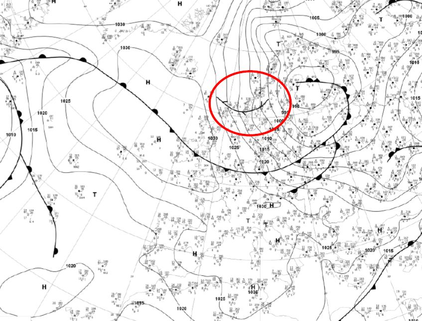
The METAR and TAF designations can be found in a handy format in the MeteoSwiss leaflet “Aviation weather information in Switzerland.” The brochure can also be downloaded electronically at:

https://www.meteoschweiz.admin.ch/service-und-publikationen/publikationen/verschiedenes/2023/flugwetterinformationen-in-der-schweiz.html

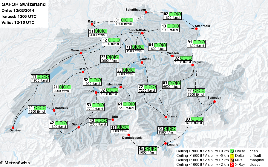
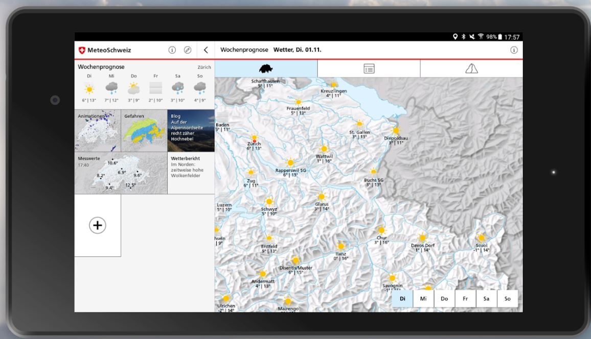
Image source: MeteoSwiss

Safety first, every flight, every time.

Thunderstorms are fascinating weather phenomena, but they pose a variety of hazards for aviation. From extreme turbulence and squalls to heavy rain, hail, and lightning strikes, many mountaineers and pilots have been caught off guard. Even if stormy weather conditions are clearly identified, it is not possible with today’s weather models to predict the exact location and time of a thunderstorm.

This guest article by MeteoSchweiz first explores the question of how thunderstorms form. It then goes on to show where thunderstorms occur most frequently in Switzerland and what effects they have on air traffic. The aim is to enable pilots to recognize and assess stormy weather conditions and take the appropriate precautions.

How do thunderstorms form?

The following conditions must be met for thunderstorms to develop:

  • Sufficient moisture, especially in the lower layers of the atmosphere (high dew points)
  • Unstable stratification of the troposphere (warm at the bottom, cold at the top)
  • Triggers for initial lifting

A trigger forces warm, moist air to rise. This causes increasingly large cumulus clouds to develop, with the towering cumulus (TCU) already reaching a considerable vertical height. The mature thundercloud is known as a cumulonimbus (CB).


Figure 1: Life cycle of a thunderstorm

a) Towering cumulus TCU: only updraft and later precipitation formation b) Mature CB: both updraft and downdraft and precipitation c) Dissipating CB: downdraft and precipitation. Graphic: National Weather Service

In order to identify weather conditions with an increased tendency to thunderstorms, it is important to distinguish between the various triggering mechanisms. The best-known trigger for thunderstorms is undoubtedly convection, i.e. the rising of warm air on a sunny day above a heating surface such as a mountain flank. With the right wind conditions, mountains also cause uplift. In some cases, thunderstorms can move from the mountains to the lowlands with the right upper air flow. Apart from this, thunderstorms in flat areas are often triggered by fronts. Cold fronts in particular are known for their line-like CBs. However, convergences are also good triggers for thunderstorms: when air flows together, lifting occurs. This sometimes takes the form of an organized convergence line in front of cold fronts (squall line). Cold air flowing out (outflow) from already active thunderstorms can also lead to lifting and thus to new thunderstorms.


Figure 2: Thunderstorm triggered by a cold front. Graphic: Karl Heinz Hack

Even though thunderstorms often occur in the second half of the day, there are sometimes thunderstorms at night or in the morning. Here, trough axes play a decisive role as triggers. These CBs have a high base at around 10,000 ft. Even a small dynamic trough (a dent in the altitude pressure field) or a thermal trough (some cold air at high altitude) is sufficient to activate the air mass. On a summer day with unstable and humid air, several triggering mechanisms are usually responsible for the development of thunderstorms.

Wind is another factor that must not be overlooked on the thunderstorm checklist. Without sufficient airflow, only isolated and short-lived thunderstorms develop, in which the resulting downdrafts immediately suppress the updrafts. With sufficient wind shear, updrafts and downdrafts are spatially separated from each other, allowing long-lasting and stronger thunderstorms to form. If there is also rotation in the updraft area, a supercell can develop. Thunderstorms can also organize themselves into long-lasting multicell complexes that cover a large area and produce significant precipitation.

Where are CBs most common in Switzerland?

In Ticino and the Pre-Alps, there are thunderstorms on around 20 to almost 40 days per year. There are also more thunderstorms along the Jura than in the Swiss Plateau. The fewest thunderstorms occur in the inner Alps, as can be seen in the following figure on thunderstorm and lightning frequency.


Figure 3a: Average number of thunderstorm days per year from 2000 to 2024, graph: MeteoSwiss


Figure 3b: Average number of lightning strikes per year and square kilometer from 2000 to 2024, graph: MeteoSwiss

What are the dangers for VFR aviation?

Every TCU and CB causes turbulence, which can range in severity from moderate to extreme. This means that they can pose varying degrees of danger to aircraft. Turbulence does not only occur within the thundercloud. The cold air flowing out of the CB (outflow) causes extreme wind shear near the ground, which can sometimes even be felt at some distance from the thunderstorm. In the mountains, abrupt channeling effects of the outflows occur. It is therefore important to closely monitor the wind at an airport during takeoff and landing, even at some distance from thunderstorms. Downbursts are particularly dangerous during the phases of flight close to the ground, as the following graphic clearly shows. Downbursts are extreme downdrafts associated with CBs, which can occur with or without precipitation. Another danger is heavy rain, which can very quickly reduce visibility.

Figure 4: Wind change for an aircraft on final approach due to a downburst. Graphic: Karl Heinz Hack

Hail is very dangerous for aviation. Strong updrafts are necessary for it to form. Only then can a heavy hailstone grow for a long time in the CB. This requires a moving thunderstorm with corresponding wind shear. Pilots must be aware that hailstorms can occur not only within or below the thundercloud. Strong winds often throw hailstones into the cloud-free space outside the CB. It is therefore advisable to fly at a safe distance from the storm cloud – and certainly not under the anvil cloud.


Figure 5: Structure of a moving storm with a hail tower. Graphic: Karl Heinz Hack

Flight preparation in stormy weather conditions

Thunderstorms are one of the most dangerous weather phenomena for aviation. Therefore, the following rule applies: They must be avoided and flown around at a safe distance. The following rule of thumb can be used to calculate a safe minimum distance:

  • At least 20 NM behind the storm. You are behind a storm when it has already passed.
  • At the front of the storm, maintain a distance of 1 NM per knot of wind speed (30 NM at 30 KT).

If thunderstorms cannot be ruled out before the start of the flight, possible detours should be planned, alternative airports should be identified, and additional fuel reserves should be taken into account.

The following aviation weather products provide information about the weather situation and any likelihood of thunderstorms:

  • SIGMET: Warning of phenomena that pose a serious threat to flight, such as TS or TSGR
  • Low-level SWC: Information on TCU and CB, including tops
  • Flight weather forecast: Information on CB and special “Hazards” section
  • TAF: Mention of TS, GR, GS, TCU, CB, and gusts, possibly with probability
  • GAFOR: Information on possible thunderstorms on specific routes

It is also important to keep a close eye on the current weather, using radar, satellite, and webcam images. Thunderstorms do not arise suddenly. They “announce” themselves in advance. If you correctly interpret the first signs, such as increasingly powerful cumulus clouds, you can avoid dangerous situations.

For all pilots, flight weather is of essential importance and one of the most complex and diverse disciplines in light aviation. Weather conditions often determine whether a flight can be carried out under VFR conditions or not.

Since the beginning of April, Staysafe.aero has been providing more information about weather in general and aviation weather in particular, as well as impressive images of weather conditions. This enhancement of flight weather information is the result of a strategic partnership between Staysafe.aero and Meteoschweiz. Experienced flight weather specialists will enrich the “Weather / Meteo” section with interesting content.

As our first contribution, we’re starting with the old saying “Is a red sky at morning a sign of bad weather?” and showing you the real story behind it.

Is a red sky at morning a sign of bad weather? – MeteoSchweiz

Cover photo: © D. Gerstgrasser

With the start of the meteorological winter, temperatures have dropped and the first snow has already fallen. This means that light aviation is now definitely in winter mode in this country too. In this article, we therefore want to focus on the operation of aircraft in the cold season and two topics in particular: flight planning and icing in flight.

Recognizing hazards
In order to recognize hazards in winter flying weather, a careful weather briefing on the conditions to be expected on the ground and in flight is required. Thanks to the extensive flight weather information available on the internet today, this preparation is possible, in some cases easily from home.

In addition to common weather apps, pilots should pay particular attention to the METeorological Aerodrome Report (METAR) and the Terminal Area Forecast (TAF) of the airfields. A call to the airfield is also recommended. There you can find out about local conditions and the runway status. In addition, the Low-Level Significant Weather Chart (SWC) and the SiGnificant MeTeorological phenomena (SIGMET / AIRMET) along the flight route should be studied carefully, paying particular attention to the spread, i.e. the difference between the current temperature and the dew point temperature. The smaller the difference, the greater the risk of fog and the occurrence of carburetor icing. However, public weather maps also provide information on when and where fog and, above all, snow can be expected. If heavy snowfall or even freezing rain is forecast, you should postpone your flight and stay indoors. The dangers are simply too great!

Danger: icing in flight
There is hardly any water vapor in cold, clear air, so that beautiful flights are possible in winter. Icing in flight is therefore rather rare in VFR operations, but there are a few points to bear in mind. An aircraft can become massively overcooled at high altitudes, even at moderate ground temperatures. Flying into a precipitation zone can lead to severe icing due to precipitation freezing on the surface of the aircraft.

In this case, the only effective measure is to descend as quickly as possible and bring the aircraft to warmer layers. Once an aircraft has iced up, the approach must be carried out at increased speed, if possible without using flaps. This is because when the flaps are extended, the aircraft becomes top-heavy, which must be compensated for by correcting with the elevator or trim. However, if these are iced up, the elevator control effect is minimal, so that the aircraft can stall on its nose and crash. An approach without extended landing flaps should then finally be considered at an airfield with a long runway. The video below visualizes and illustrates the dangers mentioned above.


Other dangers
Of course, there are also other dangers in winter, such as carbon oxide poisoning and carburetor icing. We address these topics in separate articles.

Links:

Flugwetter Schweiz (Meteoschweiz)

Home – skybriefing

METAR, TAF und NOTAM Decoder weltweit (metar-taf.com)


#aviation #avsafety #icinginflight #winterweather #flightplanning #flightoperations #aviationgeek #weareGA #pilots #flying #generalaviation #airoperation #SafetyCulture

Sorry, this entry is only available in DE, FR and IT.

Sorry, this entry is only available in DE, FR and IT.

Sorry, this entry is only available in DE, FR and IT.

Sorry, this entry is only available in DE, FR and IT.

Sorry, this entry is only available in DE, FR and IT.

Sorry, this entry is only available in DE, FR and IT.

Sorry, this entry is only available in DE, FR and IT.

Sorry, this entry is only available in DE, FR and IT.

Sorry, this entry is only available in DE, FR and IT.

Sorry, this entry is only available in DE, FR and IT.

Sorry, this entry is only available in DE, FR and IT.

Sorry, this entry is only available in DE, FR and IT.

Sorry, this entry is only available in DE, FR and IT.

Sorry, this entry is only available in DE, FR and IT.

Sorry, this entry is only available in DE, FR and IT.

Sorry, this entry is only available in DE, FR and IT.

Sorry, this entry is only available in DE and FR.

Sorry, this entry is only available in DE and FR.

Sorry, this entry is only available in DE and FR.

Sorry, this entry is only available in DE and FR.

Sorry, this entry is only available in DE and FR.

Sorry, this entry is only available in DE and FR.

Sorry, this entry is only available in DE and FR.

Sorry, this entry is only available in DE and FR.

Sorry, this entry is only available in DE and FR.

Sorry, this entry is only available in DE and FR.

Sorry, this entry is only available in DE and FR.

Sorry, this entry is only available in DE and FR.

Sorry, this entry is only available in DE and FR.

Sorry, this entry is only available in DE and FR.

Sorry, this entry is only available in DE and FR.

Sorry, this entry is only available in DE and FR.

Sorry, this entry is only available in DE and FR.